Earth observation satellites observe the Earth’s atmosphere, ocean and land in various aspects. By combining data from multiple satellites and utilizing numerical model and computer simulation, our understanding of the Earth are deepened which cannot be revealed from the data observed by a single earth observation satellite. We also develop algorithms for data processing to retrieve physical variables from satellite data and perform calibration/validation to maintain and improve data quality.
Atmosphere
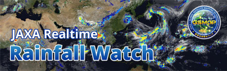
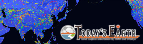
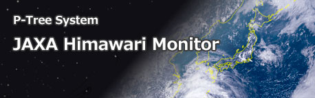
The satellites observe aerosols, greenhouse gases, water-cycle, precipitation and clouds, etc. We conduct the research to utilize these data.
Ocean
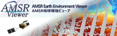
The satellites observe ocean environment, sea ice and ocean color. We conduct the research to utilize these data.
Land
The satellites observe forest, crustal movements and land cover. We conduct the research to utilize these data.
Modeling
In order to estimate unobservable variables and predict future conditions, we are researching modeling by combining satellite data, numerical model and computer simulations.
Calibration and Validation
In order to retrieve meaningful physical variables for the Earth science from the data observed by satellites, development of data analysis methods and validation for accuracy are conducted.