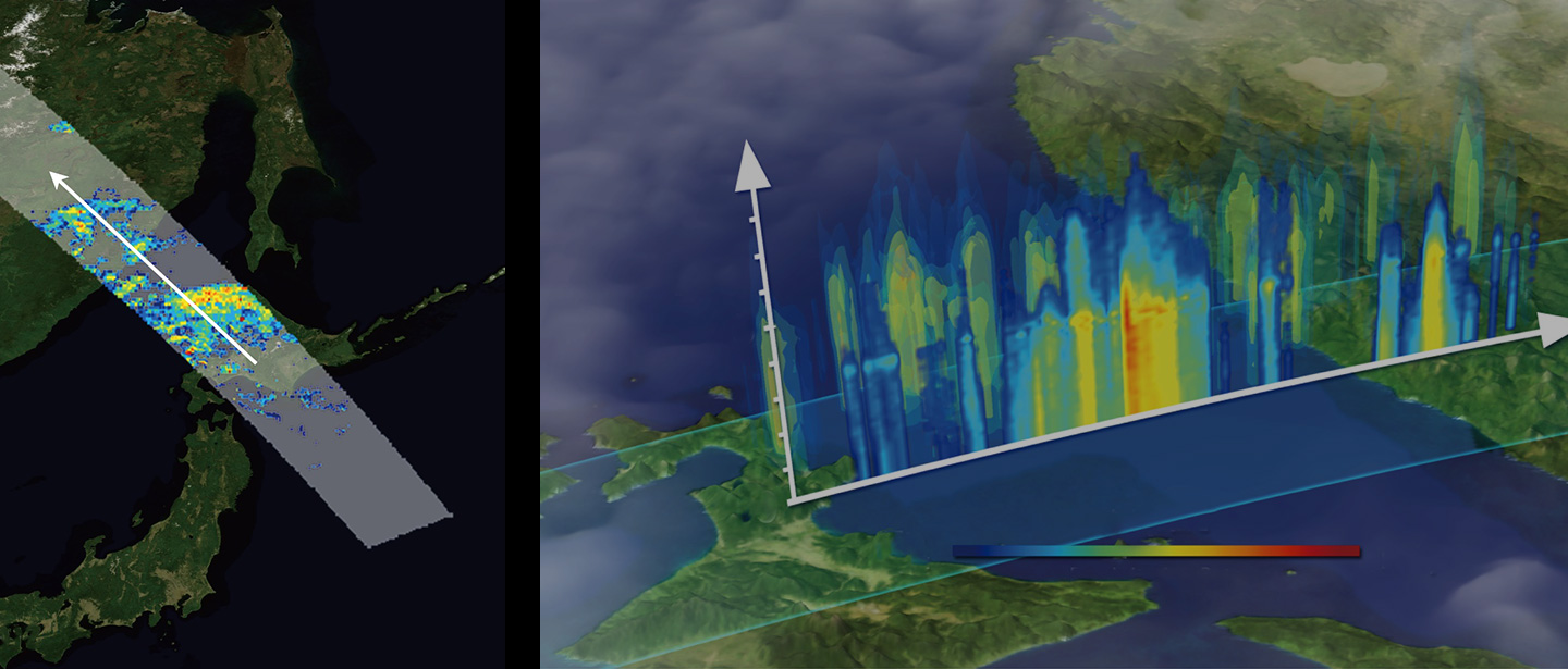
The agriculture, forestry, and fisheries is an important field directly related to “food”, which supports life, and the “environment”, which allows us to live in safe. With the declining birthrate and aging population, the efficient management of agricultural, forest, and fishery resources is becoming increasingly important. To understand and maintain these resources efficiently from local to national levels, satellite data is more effective than aircraft or drones. For example, satellite sensors can globally measure land surface or sea temperature, precipitation, solar radiation and so on. These data contribute to increasing in the profitability of agriculture, forestry, and fisheries, such as understanding growing conditions. (Figure 1).
Zoom
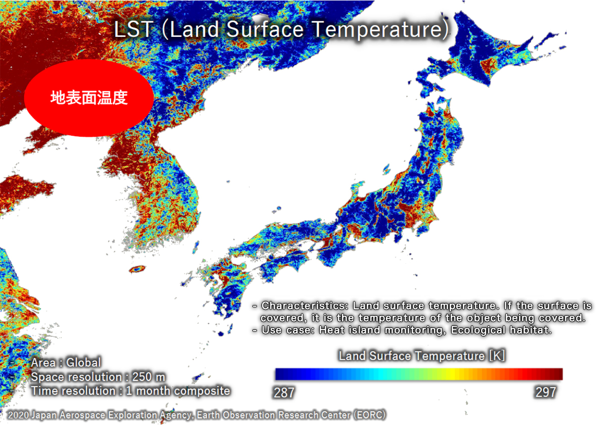
Figure 1: Land Surface Temperature analyzed from satellite data
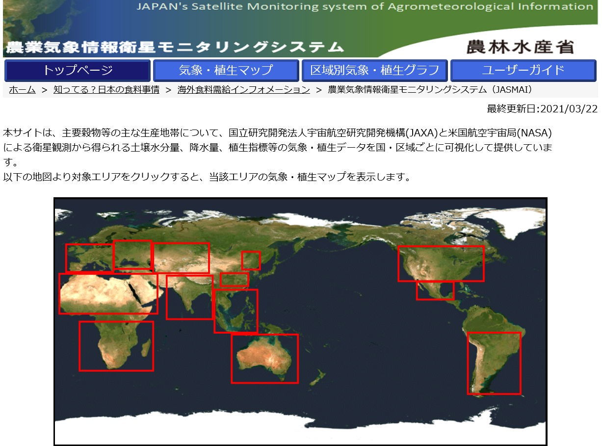
Leveraging these technologies, in order to contribute to food security issue, Ministry of Agriculture, Forestry and Fisheries, Japan provides meteorological information for main cropping areas of the world using satellite data with technical support from JAXA (Figure 2).
Zoom
Figure 2: Website of “JAPAN’s Satellite Monitoring system of Agrometeorological Information (JASMAI)”
(Source: Ministry of Agriculture, Forestry and Fisheries website)
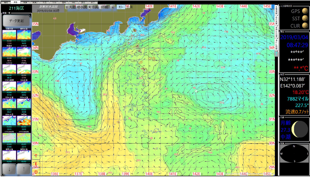
In the fisheries industry, the system is in operation to provide global-scale information on sea surface temperature, tidal current, and weather that is useful for pelagic fisheries through the Internet, and Earth observation satellite data is being used in this system (Figure 3).
Zoom
Figure 3: Sea Surface Temperature provided by Marine and weather information service “Ebis-kun”
(Source: Japan Fisheries Information Service Center (JAFIC) website)
Satellite data has been used to efficiently collect the information for the agriculture, forestry, and fisheries industry. It is expected that the monitoring work by humans and aircraft can be carried out more efficiently by using or substituting satellite data. Also, by combining satellite data with other data, we will contribute to the realization of Society 5.0 and Digital Transformation (DX).