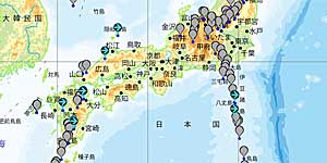
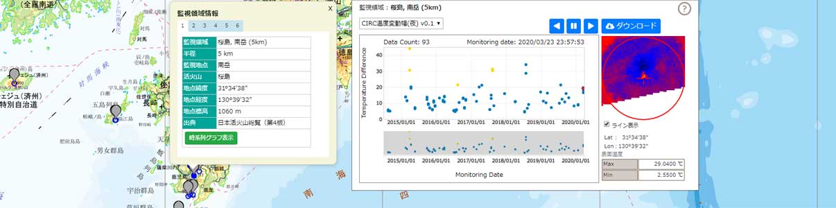
| Description | This website is to detect the change of volcanic activity by utilizing satellite data. |
| URL | https://kazan.jaxa.jp/ |
| Research Field | Volcano |
| Application | Disaster |
| Product | Satellite data for volcano monitoring |
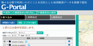
| Format | Web map |
| Area | Asia |
| Period | 2018 – now |
| Spatial Resolution | 200m |
| Temporal Resolution | Every 10 minutes |
| Terms of Use | This policy is applied. |
| Tags | DAICHI (ALOS), HIMAWARI, SHIKISAI (GCOM-C), Middle Resolution, Daily, Web Map, Land, Disaster, Asia, Around Japan, Commercial Use Allowed (Free of charge), Volcano |