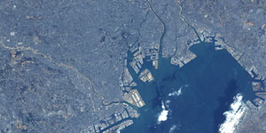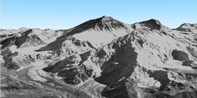
| Description | This site provides precise global digital 3D map (ALOS World 3D) using some 3 million data images acquired by the Advanced Land Observing Satellite “DAICHI” (ALOS). |
| URL | https://www.eorc.jaxa.jp/ALOS/en/dataset/aw3d_e.htm |
| Research Field | Land |
| Application | Map making, City planning, Civil engineering and construction, Disaster, Art |
| Product | Digital Surface Model |
| Format | GeoTIFF |
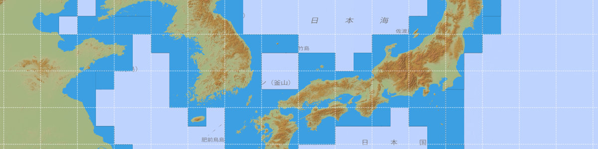
| Area | The whole world |
| Spatial Resolution | About 30m (Free version). For higher resolution data, the paid version (https://www.aw3d.jp/en/) is available. |
| Temporal Resolution | Every few years |
| Terms of Use | This policy is applied. Additionally, not specified items are confirmed to this policy. |
| Tags | Land, DAICHI (ALOS), Disaster, Infrastructure, Global, Asia, Around Japan, High Resolution, Yearly, Download, Design, Commercial Use Allowed (Free of charge) |