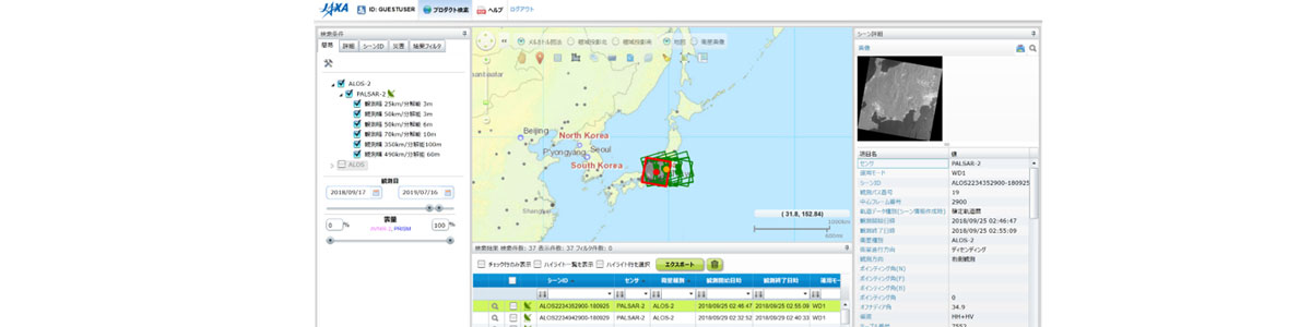
| Description | This online system allows users to search for ALOS and ALOS-2 observation data and plans (authorized users can also order observation data. Guest users can only view observation data and observation plans). |
| URL | https://auig2.jaxa.jp/openam/UI/Login?ipsLanguage=en_US |
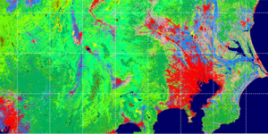
| Research Field | Monitoring of land areas (ground objects, changes in land use, earthquakes, crustal movements due to volcanoes, etc.), sea areas (sea changes, waves, ships, etc.), infrastructure, etc. |
| Application | Disaster, City planning, Civil engineering and construction, Infrastructure management |
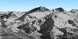
| Product | Daichi (ALOS) and Daichi-2 (ALOS-2) observation data |
| Format | GeoTIFF, CEOS. (Observation data search results (catalog information) can be downloaded as a CSV file.) |
| Area | The whole world |
| Period | ALOS: 2006 – 2011, ALOS-2: 2014 – now |
| Spatial Resolution | ALOS/PRISM: 2.5m, ALOS/AVNIR-2: 10m, ALOS/PALSAR: 10m/100m, ALOS-2/PALSAR-2: 3m/6m/10m/100m |
| Temporal Resolution | Every day |
| Terms of Use | This policy is applied. |
| Tags | DAICHI (ALOS), Land, Disaster, Infrastructure, Global, Asia, Around Japan, High Resolution, Daily, Search, Commercial Use Allowed (Paid), Earthquake, Landslide, Flood, Tsunami |