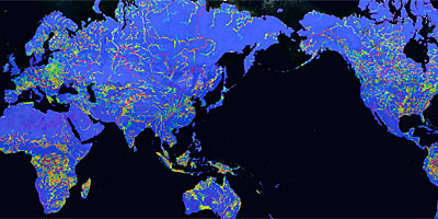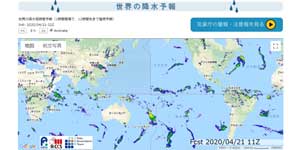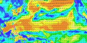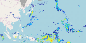
| Description | This site provides the result on simulation of land surface/river water for disaster monitoring and hydrological research. |
| URL | https://www.eorc.jaxa.jp/water/ |
| Research Field | Water cycle |
| Application | Disaster, Flood forecast |
| Product | Various hydrological products and their magnitudes for disaster monitoring and hydrological research |
| Format | Web map, PNG image, NetCDF |
| Area | The whole world, Around Japan |
| Period | 1958 – now (global), 2007 – now (Japan) |
| Spatial Resolution | 1/60 degree latitude/longitude (Around Japan) – 0.5 degree latitude/longitude (Global) |
| Temporal Resolution | Every 3 hour (global), Every hour (Japan) |
| Terms of Use | This policy is applied. Additionally, not specified items are confirmed to this policy. |
| Tags | Rainfall, Atmosphere, Disaster, Land, GPM Core Observatory, Global, Asia, Around Japan, Low Resolution, Daily, Download, Commercial Use Allowed (Free of charge), Typhoon, Hurricane and Cyclone, Flood, Web Map, For beginner, Multiple Satellites (GSMaP), MODIS |


