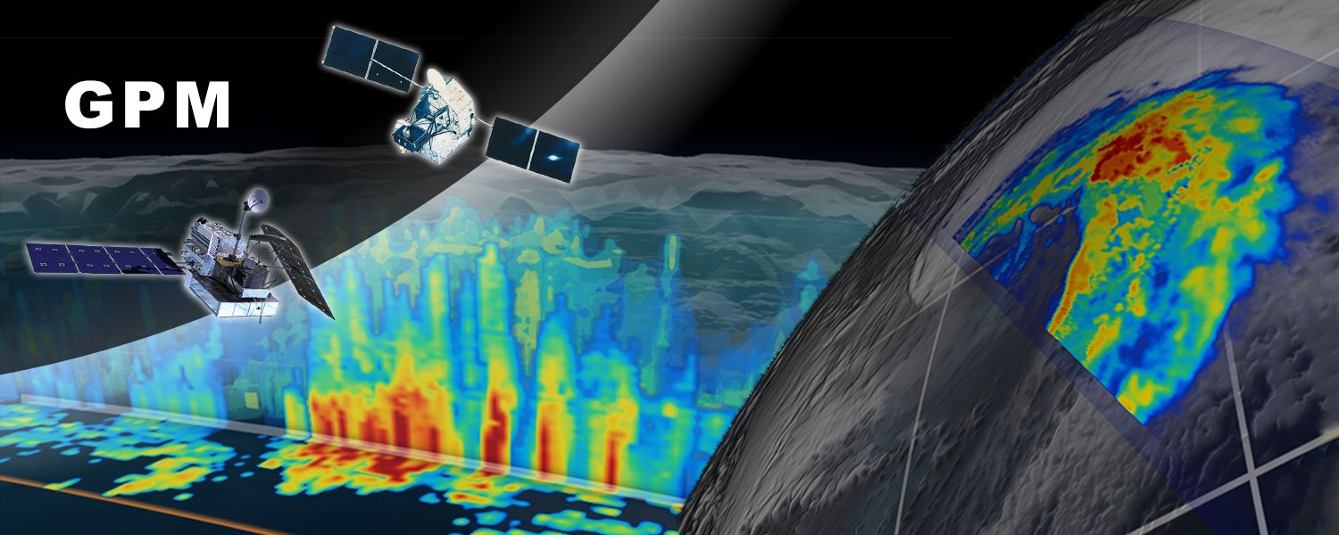
GPM project conducts the Earth science research, application research, and calibration/validation in the field of precipitation and water cycle using the precipitation radar onboard earth observation satellites. The precipitation radar enables observation of three-dimensional structure of rain and snow.
Water continuously moves around the globe through the atmosphere, land and ocean. As a source of freshwater resources used in human daily life, “precipitation” is one of the important elements of water cycle in the earth. On the other hand, extreme precipitation caused by heavy rains and typhoons poses a threat to daily life, so it is an important research field from the perspective of disaster risk reduction. In the field of application research, this project is developing and publishing the Global Satellite Mapping of Precipitation (GSMaP) that contains large amount of data on the hourly rainfall distribution around the world for the past 20 years or more. GSMaP is also used as important precipitation information in developing countries and island countries where there are difficulties to observe precipitation with ground-based facilities..
Related main satellites and sensors
| Satellites | Main sensors | Observation period |
| Global Precipitation Measurement (GPM) Core Observatory satellite *Joint mission of Japan, USA, etc. |
Dual-frequency Precipitation Radar (DPR) GPM Microwave Imager (GMI) |
2014- (in operation) |
| Tropical Rainfall Measuring Mission (TRMM) satellite *Joint mission of Japan and USA |
Precipitation Radar (PR) TRMM Microwave Imager (TMI) |
1997-2015 |