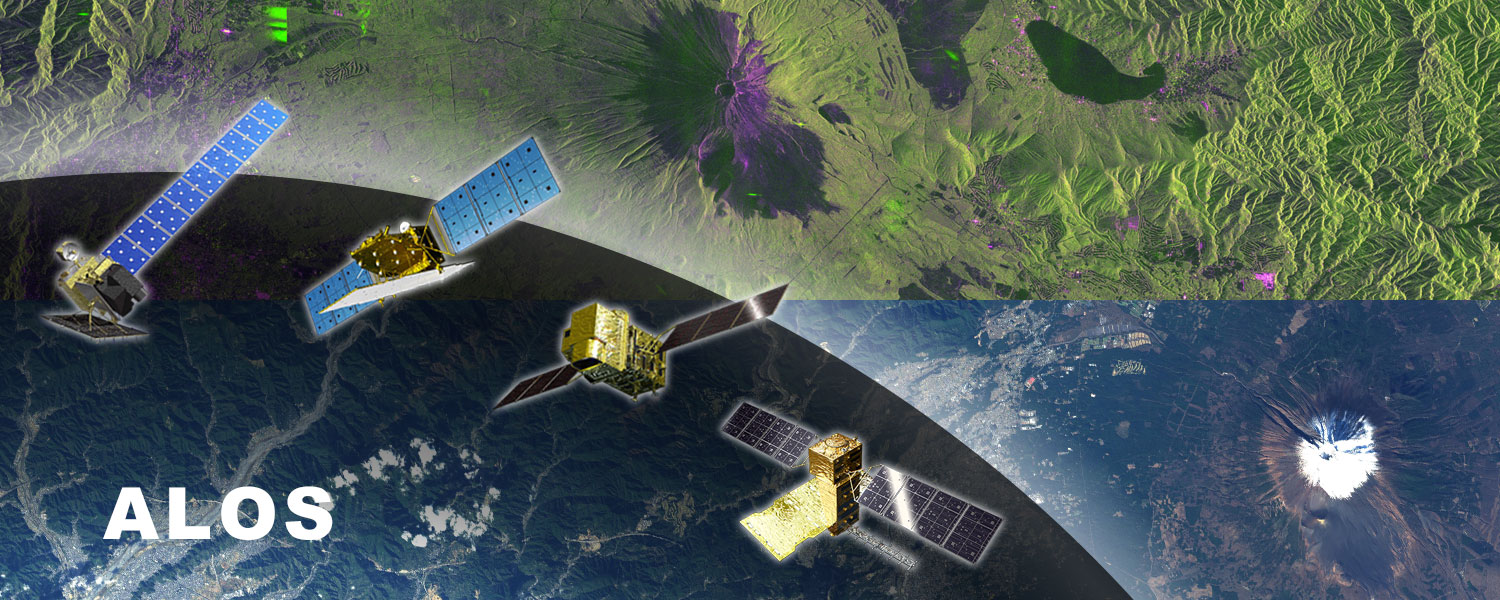
ALOS Research and Application Project conducts the Earth science research and application research using Synthetic Aperture Radar (SAR) and high-resolution optical sensors onboard the Advanced Land Observing Satellite (ALOS) “Daichi” series satellites.
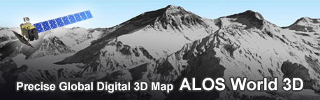
In the field of the Earth science, for example, estimation of crustal movements associated with earthquakes and volcanic activity as a disaster risk reduction research, monitoring of inundation and sediment disasters caused by heavy rain, forest/non-forest classification and land cover classification, ocean wind and sea ice extent estimation are conducted. This project opens precise global digital surface models and global mosaic images as dataset which can be utilized for various fields.
Related main satellites and sensors
| Satellites | Main sensors | Observation period |
| Advanced Land Observing Satellite-4 “DAICHI-4” (ALOS-4) | Phased array type L-band synthetic aperture radar (PALSAR-3) | 2024- (In operation) |
| Advanced Optical Satellite “DAICHI-3” (ALOS-3) | Wide-swath and high-resolution optical imager (optical sensor) |
Launched in 2023, but abandoned orbit insertion due to a problem on the rocket.
|
| Advanced Land Observing Satellite-2 “DAICHI-2” (ALOS-2) | Phased array type L-band synthetic aperture radar (PALSAR) | 2014- (In operation) |
| Advanced Land Observing Satellite “DAICHI” (ALOS) | Phased array type L-band synthetic aperture radar (PALSAR) Advanced Visible and Near Infrared Radiometer type 2 (AVNIR) Panchromatic Remote-sensing Instrument for Stereo Mapping (PRISM) |
2006-2011 |
| Advanced Earth Observing Satellite “MIDORI” (ADEOS) | Advanced Visible and Near Infrared Radiometer type 2 (AVNIR) | 1996-1997 |
| Japanese Earth Resources Satellite -1 “FUYO-1” (JERS-1) | Optical Sensor (OPS) Synthetic Aperture Radar (SAR) |
1992-1998 |