


Vegetation
Overview
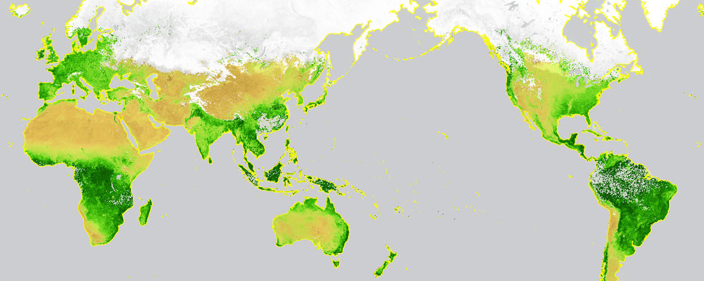
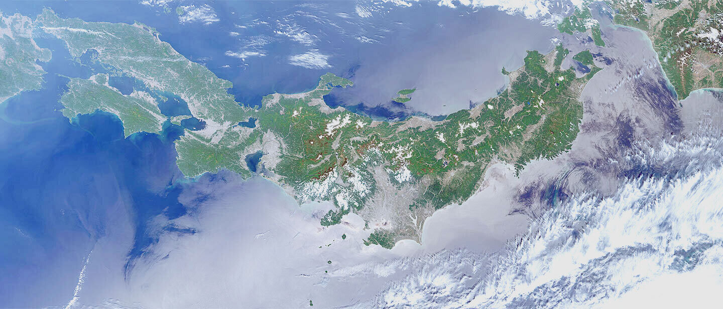
JAXA is releasing the data of vegetation index, etc. observed by the Global Change Observation Mission – Climate “SHIKISAI” (GCOM-C). Based on the characteristics of the near-infrared and visible (red) light reflected by the plant, the amount and energy of the plant is estimated. Also, it is possible to capture the forest distribution by using the Advanced Land Observing Satellite-2 “DAICHI-2” (ALOS-2).
The data is utilized in the fields of food security and agriculture (ex. yield forecast) and for the protection of rainforest.
Main Products
Normalized Difference Vegetation Index
Leaf Area Index
Forest/Non-forest Maps
Data Distribution Site
G-Portal
JASMES Portal
Forest/Non-forest Maps (FNF)
JPMAP
JAGMAP
Related satellites
Global Change Observation Mission – Climate “SHIKISAI” (GCOM-C)
Advanced Land Observing Satellite “DAICHI” (ALOS)
Advanced Land Observing Satellite-2 “DAICHI-2” (ALOS-2)


Stay Connected
