


Optical Imagery
Overview
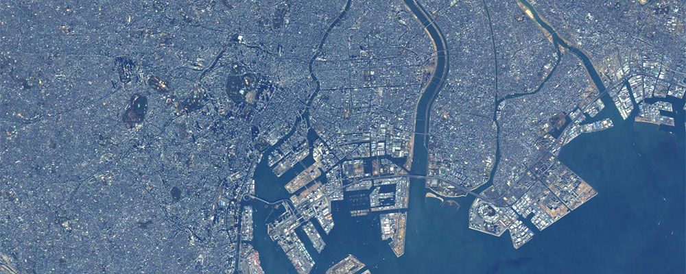
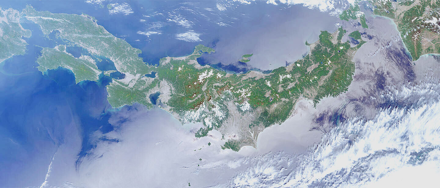
Same as common pictures, optical imagery is captured by using visible light which can be perceived by the human eye. Like aerial photograph, imagery which is close to visual image can be obtained. In case of the data observed by sensor which can be observed by many frequency bands other than visible light such as the Global Change Observation Mission – Climate “SHIKISAI” (GCOM-C), imagery which is close to visual image can be obtained by combining data of frequency bands which corresponds to the three primary colors – red, green and blue.
When the ground is observed from space, the image is blue-tinged due to the effect of atmosphere. In case of atmospheric corrected product, we can obtain the color close to the real one. The condition of land surface under the cloud cannot be observed.
Main Product
RGB image (Rayleigh corrected reflectance RGB)
Data Distribution Site
ALOS Ortho Rectified Image Product (ALOS-ORI)
AUIG2
防災インタフェースシステム
JASMES Portal
JAXA Himawari Monitor (P-Tree)
Sea Ice Distribution in the Sea of Okhotsk
Related satellites
Advanced Land Observing Satellite “DAICHI” (ALOS)
Advanced Optical Satellite “DAICHI-3” (ALOS-3)
Global Change Observation Mission – Climate “SHIKISAI” (GCOM-C)
Greenhouse Gases Observing Satellite “IBUKI” (GOSAT)
Greenhouse Gases Observing Satellite “IBUKI-2” (GOSAT-2)
Meteorological satellite “Himawari”


Stay Connected
