


Topography
Overview
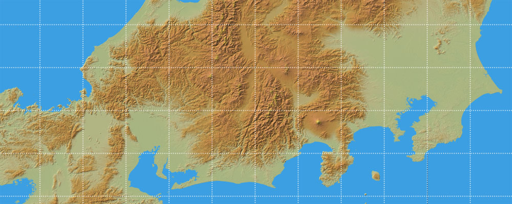
JAXA has been processing the precise global digital 3D map using some 3 million data images acquired by the Advanced Land Observing Satellite “DAICHI” (ALOS). Since the digital 3D map has 2.5 meters in spatial resolution with 5 meters height accuracy that enables us to express land terrain all over the world, it is utilized in various areas including mapping, damage prediction of natural disasters, water resource research and so on.
2.5m/5m resolution data is provided to general users for a charge through NTT DATA Corporation and Remote Sensing Technology Center (RESTEC). JAXA is releasing data of global digital surface model with 30m resolution free of charge.
Main Product
Digital Surface Model
Data Distribution Site
Precise Global Digital 3D Map “ALOS World 3D” (AW3D)
Related satellites


Stay Connected
